
Services
3D Modeling & Visualization
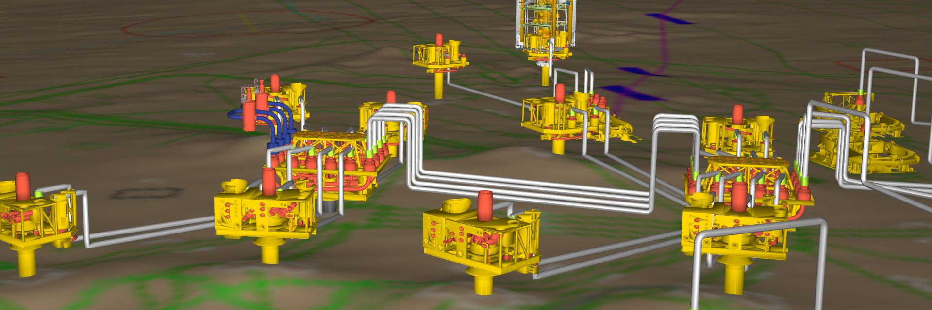
Model real-world situations with accuracy and visualize in real-time
Use 4D Nav's unique architecture to plan for and model potential risks and roadblocks typically missing in two-dimensional displays. With our three-dimensional modeling services, you can view everything from digital terrain models to subsea infrastructure and vessels in 3D and in real-time.
Extreme telepresence: construct and display complex 3D scenes
4D Nav uses three-dimensional models, AutoCAD drawings, OrcaFlexTM models, and various other sources to accurately render scaled scenes that show real-world situations involving vessels, ROVs, catenaries, and other moving objects.
- Monitor the closest point of approach (CPA) between two objects
- Model catenary dynamics
- Reduce potential clash risks
- Access real-time 3D visualizations for more efficient operations.
Dedicated to your subsea success and safety
Learn More